Alta Ruta de los Perdidos
Explore the historic and stunning Monte Perdido and Vignemale massifs
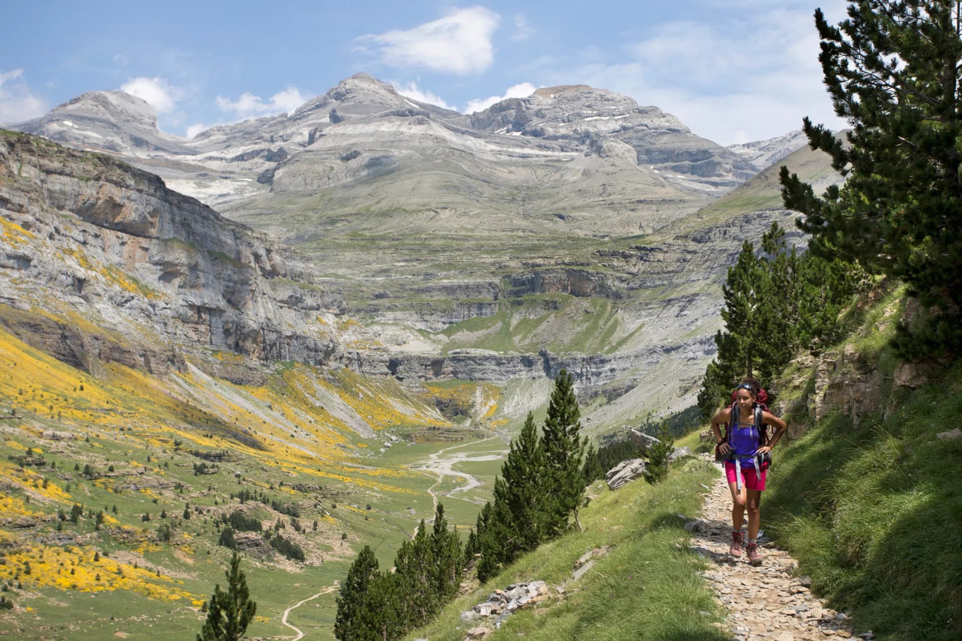
Traverse both the Ordesa y Monte Perdido National Park and the French Pyrenees National Park
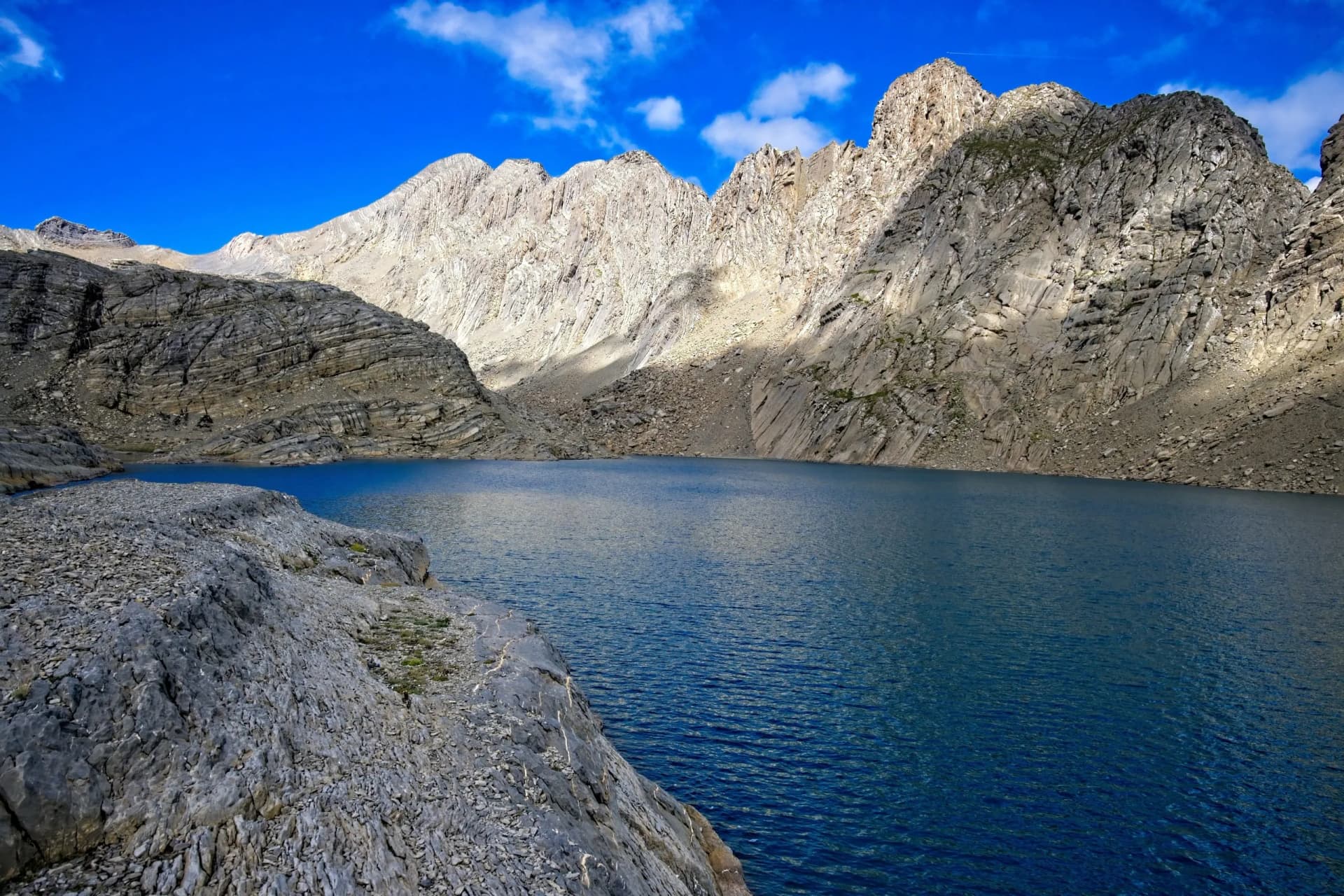
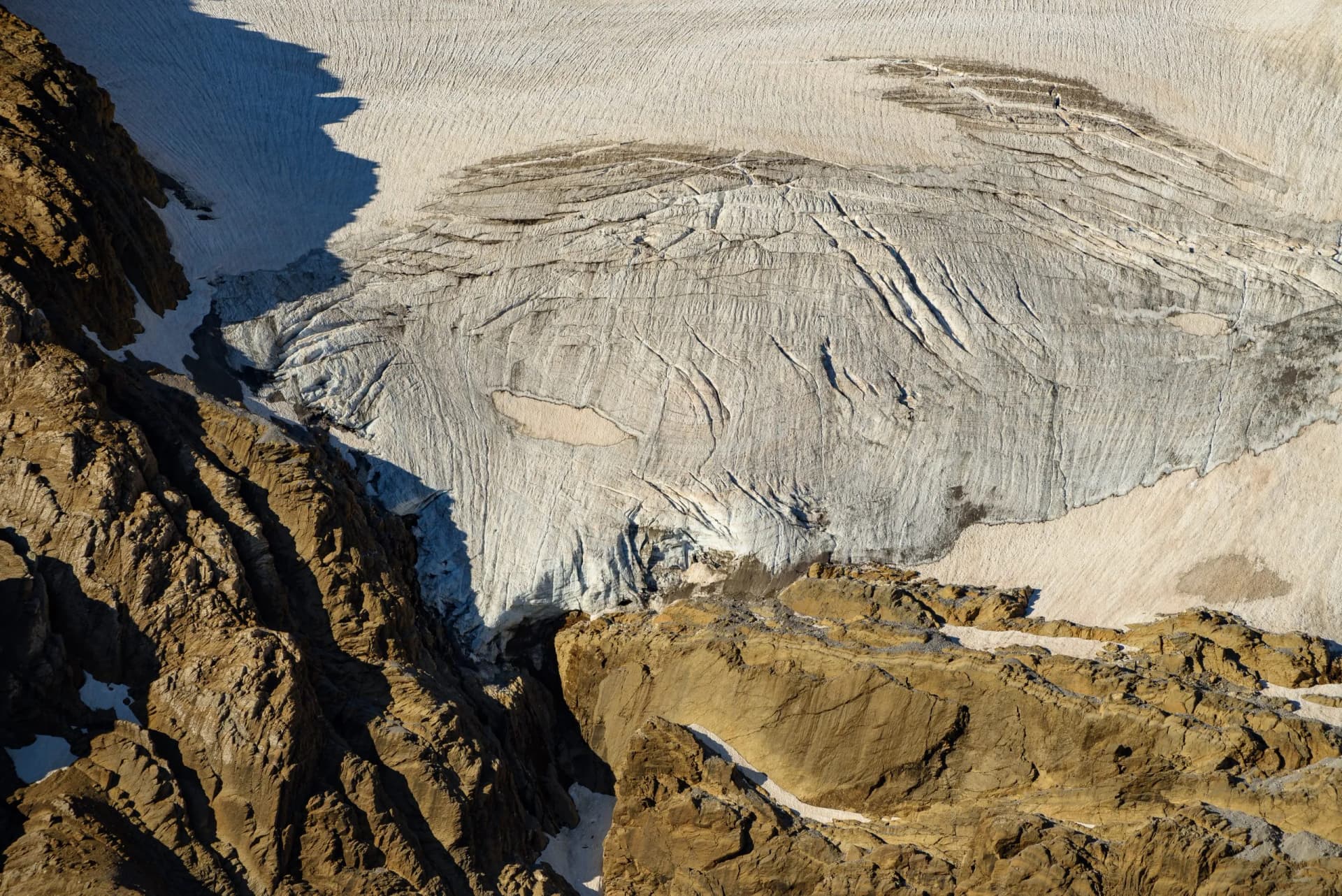
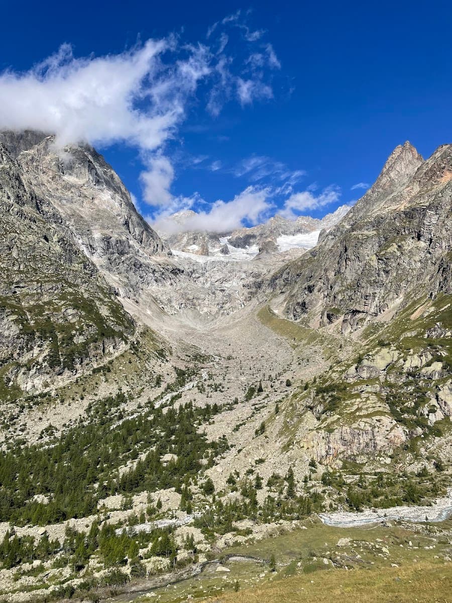
Experience the changing landscapes of Europe’s southernmost glaciers, waterfalls, and rivers
Discover the breathtaking Cirque de Gavarnie, a natural geological amphitheater
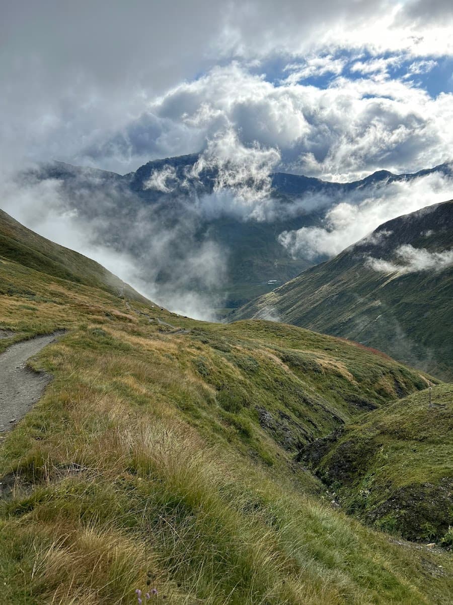
Hike through the lush forests and scenic trails of the Valle d’Ossue
Itinerary
Your journey begins at the welcoming Bujaruelo Refuge, a starting point for an unforgettable trek through the Pyrenees’ breathtaking landscapes. Enjoy a good night’s sleep before you set out on this magnificent adventure at your own pace, surrounded by some of the most stunning scenery the Pyrenees have to offer.
Transfer from Torla
On your first hiking day, you’ll begin by crossing the historic Roman bridge. As you ascend, keep an eye out for the red and white markings of the GR11 trail leading you toward Puerto de Bujaruelo. From there, follow the signs to the Brecha de Rolando Refuge. At the Brecha, you’ll navigate through rocky terrain to begin your descent on a well-marked trail dotted with cairns, guiding you to the Planas de Narciso. Your path then leads to the Millares pass, continuing effortlessly across the flat expanses to the welcoming refuge of Góriz.
16 km and 1630 m of elevation gain / 760 m of elevation loss
You’ll depart from Góriz, tracing the GR11 trail as it gently ascends to the Upper Góriz Pass. Here, diverging from the GR11, you’ll follow the northeast markers leading along the Faja de las Olas towards the Añisclo Pass. This section includes a series of chains to assist in your progress. For those preferring to avoid this more technical part, an alternative route is available via the descent to Fuen Blanca, followed by an ascent to the Añisclo Pass. The day concludes with a careful descent from the Añisclo Pass, a challenging but rewarding journey to the serene refuge of Pineta.
12.5 km and 630 m of elevation gain / 1600 m of elevation loss
The day starts by following the trails marked by the National Park towards the breathtaking Balcón de Pineta and Marboré Lake. Skirting around the lake to the right, you’ll head towards the Tucarroya Breach and Refuge. The ascent to the breach is an invigorating climb, followed by a descent through a steep, rocky chute requiring cautious navigation. There’s an alternative path via the Nuevo de Pineta Pass for those seeking a less technical route. After descending from the Tucarroya Breach, the trail ascends again towards Horquette d’Alans before descending to the Espuguettes Refuge.
17 km and 1800 m of elevation gain / 950 m of elevation loss
Departing from the Espuguettes Refuge, your journey leads towards Gavarnie. Along the way, you can make a slight detour to the base of the majestic Cirque de Gavarnie. In Gavarnie, the route to the Grange de Holle refuge presents a slight challenge in navigation. This lesser-known trail will guide you to your destination at the Grange de Holle Refuge.
12 km and 370 m of elevation gain / 880 m of elevation loss
Leaving the Grange de Holle Refuge might initially seem a bit unclear, so it’s wise to follow your GPS device thoroughly. Your route takes you through a forest trail leading to the Valle d’Ossoue. Along this path, you’ll pass the charming Cabaña de Lourdes and cross the Barrage d’Ossoue. From there, you’ll embark on an ascent towards the Bayssellance Refuge. The journey continues as you follow the trail that climbs to the Horquette d’Ossoue, offering an engaging mix of uphill and downhill hiking. Your day culminates with a descent to the Oulèttes Refuge.
20 km and 1560 m of elevation gain / 900 m of elevation loss
From the Oulèttes Refuge, your trail leads towards the Collado de los Mulos, where you’ll embark on a descent and then steer towards the Valle del Ara. This section of your journey involves a long, gentle downhill path, offering a relaxing pace compared to previous days’ hikes. As you meander through this serene stretch, the trail eventually brings you full circle back to the Roman Bridge at Bujaruelo and the refuge.
16.5 km and 600 m of elevation gain / 1450 m of elevation loss
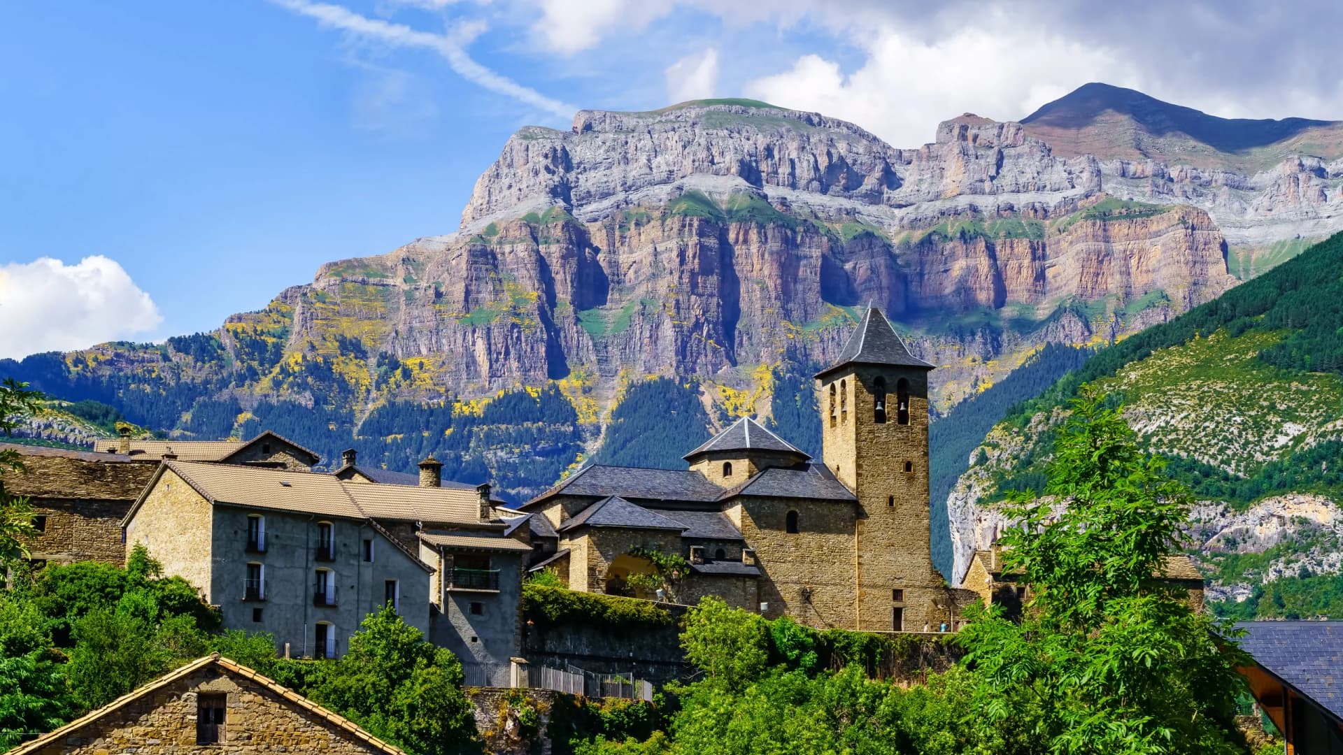
On your final day, after spending a restful night at the Bujaruelo Refuge, a pre-arranged transfer will be ready to escort you from the refuge. The transfer will conveniently take you to Torla, a picturesque village that serves as a gateway to the Ordesa y Monte Perdido National Park. In Torla, you’ll have the opportunity to catch your public transportation.
Transfer to Torla
Want to make some changes?
Guided
Included in price
Self guided
Included in price
What to bring to the tour
Description
Alta Ruta de los Perdidos, renowned as the quintessence of Pyrenean trekking, takes you through ever-changing landscapes, from the southernmost glaciers of Europe to the captivating blend of waterfalls, woods, and rivers.
The trek is a circular route encompassing the lofty Monte Perdido and Vignemale massifs, traversing the national parks of both Spain and France.
However, the Alta Ruta de los Perdidos is a challenge even for the most experienced hikers. Its long stages demand exceptional fitness and hiking proficiency. The terrain includes steep and slightly exposed sections.
The route’s rigorous nature means that luggage transfer isn’t possible, adding to the raw and immersive experience of high-mountain trekking.
For those who dare to take on this adventure, our service ensures a seamless experience. We manage all hut bookings, provide round-the-clock support on the route, and equip you with GPS navigation and an extensive travel booklet.
Our commitment is to make your journey comfortable and safe, allowing you to fully engage with the wild beauty of the Alta Ruta de los Perdidos.
Trail Map
Start planning today!
Things to know
Hut-to-hut hiking is a form of trekking where you hike from one mountain refuge to another, staying overnight at these locations. This style allows you to explore the varied landscapes of the Pyrenees, from high mountain passes to serene valleys, without the need for carrying camping gear. The trails, such as the famous GR10 and GR11, connect different refuges and offer diverse scenic experiences.
Preparation involves physical training, familiarizing yourself with the hiking routes, and ensuring you have the right gear. Start with cardiovascular exercises and hikes to build endurance. Study the specific trails you plan to hike, as each has unique characteristics, and pack accordingly for varying weather conditions and terrains.
While some hiking experience is beneficial, the Pyrenees offer trails suitable for various skill levels. Beginners can enjoy less challenging routes with lower elevation gains, while experienced hikers can tackle more strenuous paths. But most trails in the Pyrenees require some previous experience, mostly due to large distances and elevation gains.
The Pyrenees feature a range of refuges, from basic, unmanned shelters offering minimal amenities to manned refuges with facilities like meals and hot showers. All our hikes include only staffed huts in order to provide the maximum comfort possible.
Sleeping arrangements in Pyrenees refuges vary. Some offer private rooms, while others only have shared dormitories. It’s essential to book in advance, especially during peak seasons, to secure the type of accommodation you prefer.
Refuge etiquette in the Pyrenees centers around respect for shared spaces and other hikers. Clean up after yourself, keep noise levels low, especially at night, and adhere to the specific rules of each refuge.
The ideal season is from late spring to early fall, typically June to September. This period offers more stable weather conditions and open refuges. However, be prepared for rapid weather changes, especially in higher altitudes.
Meals are provided in all staffed refuges, often including breakfast and dinner. Some refuges might offer packed lunches for the next day’s hike. It’s wise to carry snacks, especially for longer hiking segments.
Stay on marked trails, be aware of weather changes, and carry a basic first aid kit. For emergencies, know the local rescue services (112) and have a means to call for help. We provide support and check-ins to ensure your safety throughout your hike.
Although our suggestion would be that they are at least 12 years old, many hikes are suitable for children who are accustomed to hiking and can handle distance and elevation changes. Assess your child’s ability and choose a trail that aligns with their experience and stamina.
Weather in the Pyrenees can vary significantly, with warmer conditions in the lower valleys and cooler temperatures at higher elevations. Summers are generally mild, but conditions can change rapidly in the mountains, so be prepared for all scenarios.
Yes, advance booking is crucial, particularly if you prefer specific types of accommodation or are hiking during the busy season. Refuges, especially the more popular ones, can fill up quickly.
In mild bad weather, such as rain, it’s usually safe to continue your hike with appropriate gear. For severe weather conditions like heavy storms, it’s advised to stay in your current refuge until it’s safe to proceed. Always prioritize safety and follow the guidance of hut wardens or local authorities. We’ll try our best to adapt your itinerary accordingly.
The availability of specific dietary options varies between refuges. Most manned refuges offer vegetarian meals, but vegan options might be limited. It’s recommended to inform the refuge in advance of any dietary restrictions. Carrying additional food items to supplement provided meals is a good practice.
Cell phone reception in the Pyrenees can be spotty, especially in remote areas or higher altitudes. Some refuges may offer Wi-Fi, but it’s not common. Prepare for limited connectivity, which is a part of the remote mountain experience.